Running In Alaska Pt 2: Two Peaks, Two Flights, and Two Days
Palmer->Matanuska Peak->South Pioneer Peak->Flying Around Denali
We spent one more night at the Resurrection Bay Lodge and then headed up for Palmer the next day. Palmer is almost two hours north of Anchorage. I planned to do some more peak bagging there as well as renting a plane to fly in Alaska. We got there the first day in time for my flight in a rented Cessna Skyhawk.
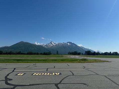
Ever since I began flying I’ve always dreamed of flying in Alaska. Alaska is home to so many different types of aviation and so many passionate pilots. I went up with Blue River Aviation in Palmer. We flew east up toward the Knik River Glacier for some flight seeing and then headed over to a gravel strip for me to practice some ACTUAL soft field landings-a type of landing that In taught a ton of in Florida but never actually got perform on unpaved airports due to flight school limitations. After the flight ended around lunch, we went out to lunch at a lovely place called Sweet Gypsy with delicious food and a nice aesthetic.


Because of the endless daylight, I still had time to get in a good adventure after the flight. I decided my objective would be Matanuska Peak. Matanuska peak towered above us from the front porch of our Airbnb and was visible from basically anywhere in Palmer. The route to the top would include around 13 miles round trip with about 5840 feet of climbing.
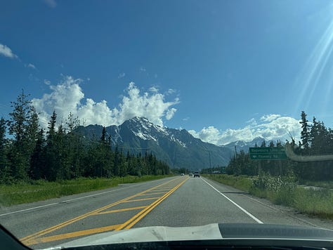

I set off at around 6:30 pm for the peak which is crazy considering I didn’t even fathom bringing a headlamp (22 hours of daylight!!!!). The first two or three miles of the trail were humid, vegetation-dense, and quite muggy in the peak heat of the afternoon. After about 3,000 feet of elevation gain, things started to cool off, open up, and get above tree line.
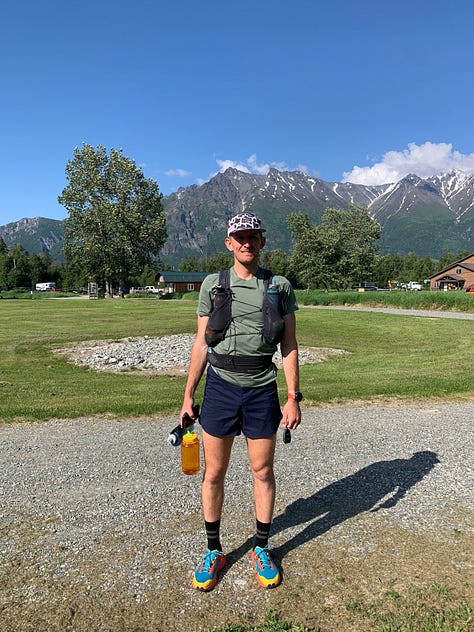

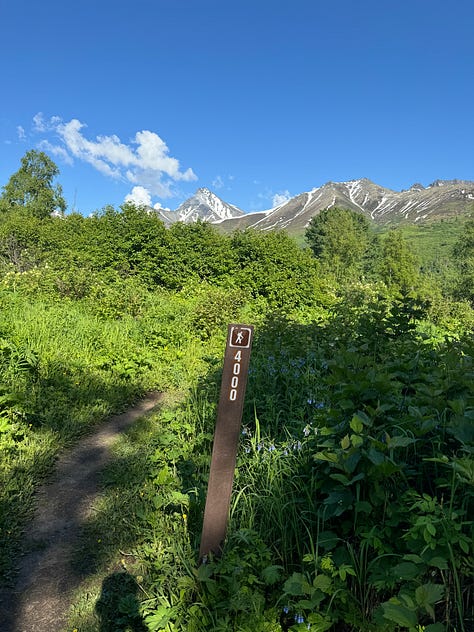
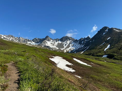

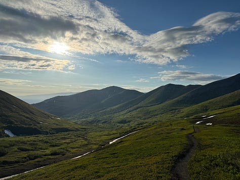
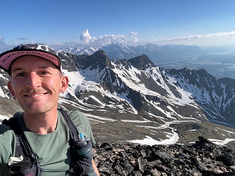
The route up Matanuska goes straight up the south ridge more or less and gets nice and steep for the last mile or two. From the top of the peak I had the perfect view of our Airbnb, the entire town of Palmer, and the surrounding peaks. I eyed South Pioneer peak in particular, which I had seen on a Mediocre Amateur (best adventure YouTube page in my opinion) video earlier in the year and intended to summit the next day.
I summited around 7-8pm and FaceTimed my mom from the peak. I told her and Aunt Cathy to come outside of the airbnb to try and spot me (no luck), and then decided to call it a day and descend down. I made it down in a bit more than an hour and drove back to the airbnb exhausted but content. I planned to sleep for a bit and do the exact same thing in about 8 hours the next morning.

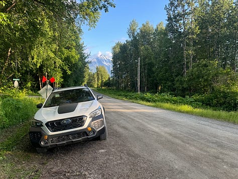
The alarm went off before 7 and I made a quick breakfast and packed my Salomon running vest for the morning. Today’s objective was South pioneer peak, very similar in numbers to the ascent up Matanuska peak, but slightly higher, slightly more technical,and slightly more risky.
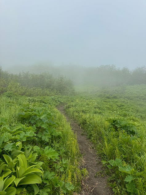
Mom dropped me off at the trailhead around 8 and we made plans to rendezvous in 6-7 hours time, assuming that I wouldn’t have reception for the entire route. I took off on the trail. Just like the day before the first 2,000 feet of vert gained were hot, muggy, even more muddy (almost had my shoe sucked off), and mosquito-y. There was tons of moisture and even a few stream crossings. The valley was enveloped in a low cloud ceiling layer that I suspected I would pop up above eventually.


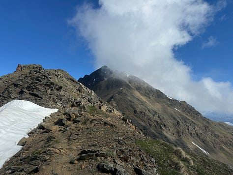
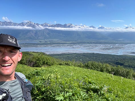
An hour into the ascent I popped out of the clouds and was rewarded with beautiful blue skies and visibility days. South Pioneer Peak itself was smothered by one lone cloud that seemed to be clinging on. Around 3,500 feet of elevation gain the trail split and I needed to take a ridge to traverse over to the summit. This was the fun but slightly more dangerous part.

The ridge had a beautiful line and I was thrilled to follow it to the peak. The cloud enveloping the peak remained and as I progressed up the ridge it seemed like more weather was rolling in. I continued up to what I thought was the summit but turned out to be a false summit. As I climbed visibility deteriorated, the moisture on the rocks increased, and my doubts grew. I continued up until I arrived at a section I didn’t like any of the options for going up. I was literally 150 feet from the summit. My intuition felt off and I knew that if the moisture continued to worsen, the ridge to the summit would be a lot more risky to descend and that my room for error was diminishing.
I decided to turn around obnoxiously close to the summit, but knew it was the right decision given my internal dialogue at the moment. I got off the ridge and descended around 2,000 vertical feet to the split in the trail.
Looking back, I noticed that it was the exact same cloud that had been there the entire time. Inside the cloud, things felt urgent and unsafe. Outside the cloud, everything felt calm and fine. I couldn’t see beyond what was immediately in front of me, and although I knew logically the peak had been in a cloud for my entire ascent, things felt much more harrowing inside the cloud.

Once I stepped away from the situation and gained the benefit of perspective, everything felt fine again. That was easily the closest I’ve ever come to the summit of a mountain without getting on top of it. It wouldn’t be the only time I turned around close to a summit this summer. Going solo meant my tolerance for risk was lower and not seeing anyone on the trail the entire day meant I was especially cautious. I got back to the trailhead 30 minutes before the agreed rendezvous time and swatted away mosquitoes until my mom showed up. I felt filthy, exhausted, and content.
I showered the grime off and changed before we went back to Blue River to do a sightseeing flight around Denali. This time we were flying in a Cessna Caravan with a stronger engine and more carrying capacity. Our pilot’s name was Hannah, she was around my age and very congenial. The flight took us about an hour to get to Denali from Palmer.
On the flight up I chatted with Hannah about what types of flying she does, what the seasons were like in Alaska, and what her goals were in aviation. Denali is huge: it’s the highest peak in North America at 20,310 feet and the third most prominent in the world behind only Everest and Aconcagua. The next largest peaks next to it are Mt. Foraker (17,400 feet) and Mt. Hunter (14,573 feet).
Although it is massive and prominent, many days the visibility makes it impossible to see Denali on flightseeing tours or from the valley. Denali is infamous for having some of the worst (if not the worst) weather of any of the seven summits-the high points of each continent.
Luckily, this was not the case for us as we started to see her from miles away. Hannah pointed out the Sheldon Chalet, a luxury chalet on the Ruth glacier next to Denali that costs something like $3,000 a night per person with a minimum three night stay. The place is beautiful and perched on a rocky outcropping just above the glacier. We joked about being able to afford to stay there one day.
As we circled around Denali, the views just kept getting better and better. The granite of the peaks was breathtaking and the glaciers and cornices equally stunning. We circled around a few times as Hannah pointed out different features on each pass and answered questions I’m sure shed been asked dozens of times. We returned to Palmer after a few passes, my imagination filled and my mind eager for our next leg of the trip that would take us to Denali National Park.


Great to relive our adventure,thank you!